SURVEY – Hydrau-Tech Inc.
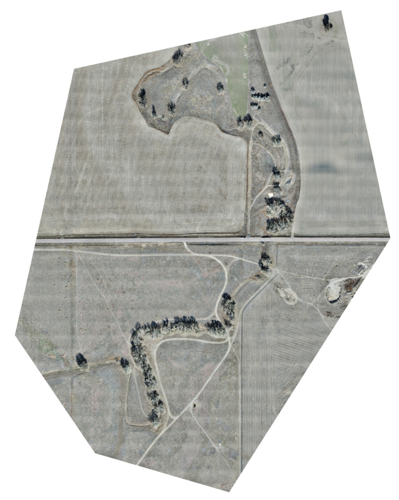
GREELEY – Flying for Hydrau-Tech Inc. was a great opportunity for Newton Aerials to delve into a new realm of survey and mapping applications. As a critical part of their workflow, Hydrau-Tech Inc. utilizes the drone data captured from our flight to create models for the Colorado Department of Transportation for bridges and roadways throughout the state for hydrological survey purposes. An important element of bridge survey projects is relative map accuracy. The difference in relative and absolute accuracy is accounted for utilizing Ground Control Points within the Drone Deploy software. It’s a powerful resource to increase accuracy of aerial mapping to a deviation of less than 1 centimeter.

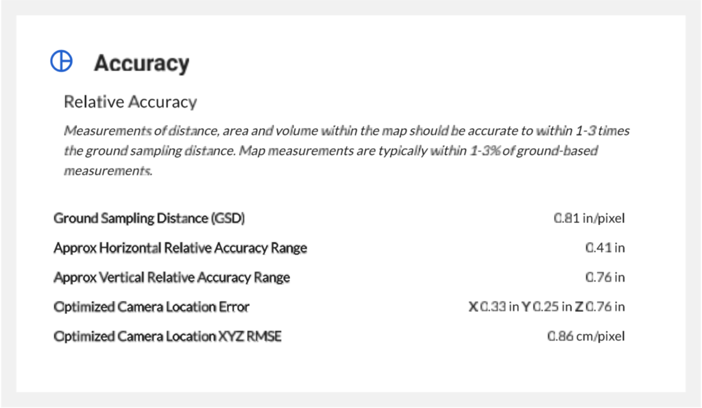
In the image below, you can see the specific accuracy for the drainage survey project completed. Hydrau-Tech Inc. utilized AutoCAD software to complete their specific project, but we can create files for use in an array of graphing and mapping applications.


