A True Launch
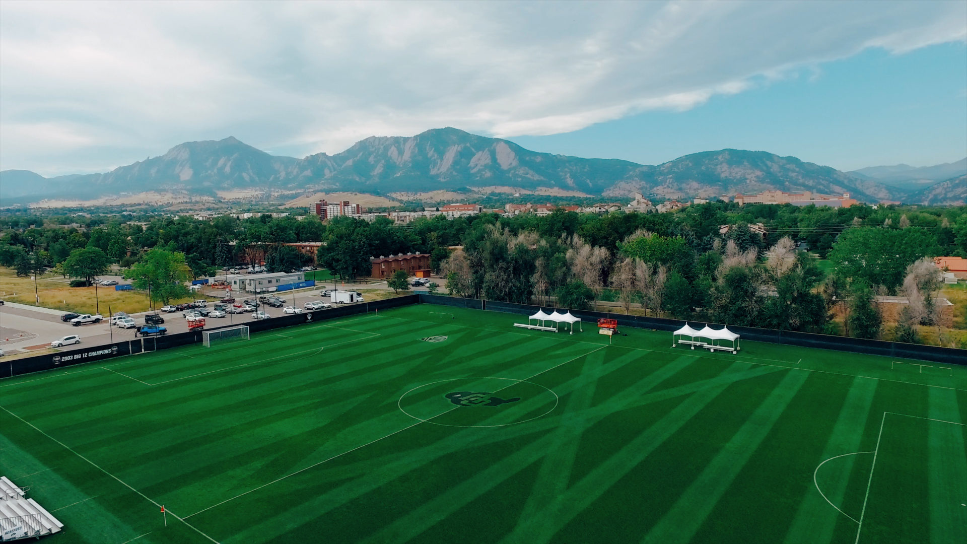
Welcome to the NEW Newton Aerials website, highlighting videos and work captured from the sky. Newton Aerials is beginning to work with many local production companies and this week we have the pleasure of flying around the Boulder area with NOCOAST productions to capture aerials of the surrounding area for their work on an Ashe tree video project with the City of Boulder Parks & Recreation department. Next week we are flying at the Boulder Country Club with Ruckus Media for their video produced to highlight the beautiful golf course and amenities in the area.

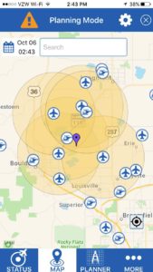
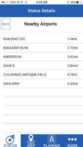
 When working with cities and municipalities such as Boulder, the first step is working with the governing bodies of the area to verify the safety of each flight location and receive permission from all of the property owners. In both of these productions we are flying for the owners of each property, so we are all set on the permissions. The next step, and one the FAA is very concerned with, is contacting all airports within a 5 mile radius of each flight zone. Luckily, the FAA has created a nifty app called “B4UFly” that allows a UAS operator to plug in the coordinates of each flight prior to take-off and create a list of every airport in the vicinity.
The designation “airport” could be anything from a private landing strip to a hospital heliport, or even a commercial airport like DIA. I have communicated with each of the 6 airports that I found to be within that 5 mile radius (see map image to the right) and notified them of my flight plans. Once all the permissions are set, the next step is to check weather patterns close to flight time. It appears the winds and precipitation during our scheduled flights will be calm enough to fly and capture the imagery we are after.
Stay tuned to NewtonAerials.com to see some of our latest work and to learn more about the aerial media business.
If you’re interested in creating stunning aerial imagery for your business, contact Newton Aerials today!
